
This page describes how to import and export your map annotations using ScaleFlyt.
Importing Annotations
The importing annotation feature allows you to quickly bring digital geographical annotation data in to ScaleFlyt so that you can visualise and work with it alongside the rest of your planning process, including the aviation data overlays provided. The use cases behind this are varied but the main reason that we developed this was to allow customer furnished geographical data to be consumed in the mission planning process.
How to import annotations
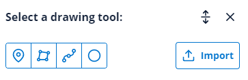
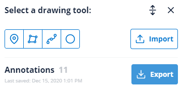
- From within your new or existing mission open the annotate tab to select the import button:
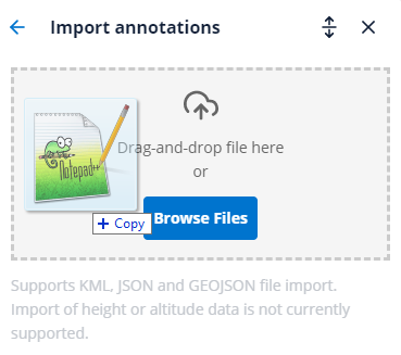
- Either drag and drop, or browse files to find the file that you want to import.
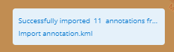
- The file will be checked and the annotations will be added to your map. The map will display a notification to confirm that the process has been successful:
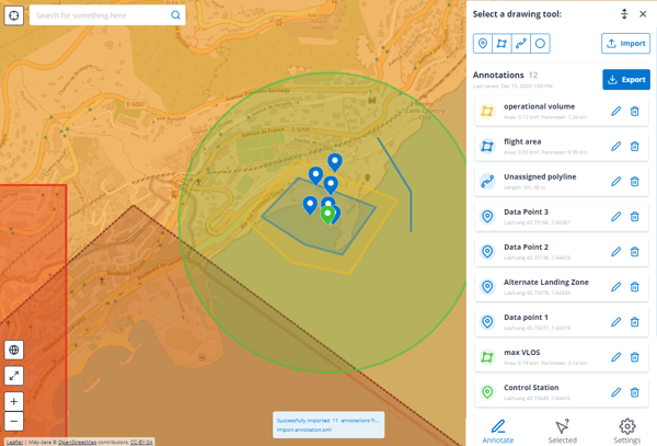
- Once the annotation file has been imported the annotations are fully editable and are shown in the annotation list:
File Types Supported:
Only GEOJSON, JSON and KML files can be imported. If you have data in a KMZ file please save it as a KML file first.
Files large than 3Mb are not accepted.
Multiple files cannot be uploaded at the same time.
KML Import Support:
The 'tour' and 'overlay' data that KML supports is not relevant to ScaleFlyt and will not be imported.
The import of height or altitude attributes in KML files is not currently supported. All imported annotations will be displayed at ground level.
Export annotations
The export annotation feature allows you to download ScaleFlyt annotations in either of the widely supported KML or GEOJSON formats. This feature has been developed to allow you to move your mission geographic data digitally, for example to share the data with a third party, or to import the data in to another tool such as a drone flight planner.
How to export annotations
- From within your new or existing mission open the annotate tab to select Export.
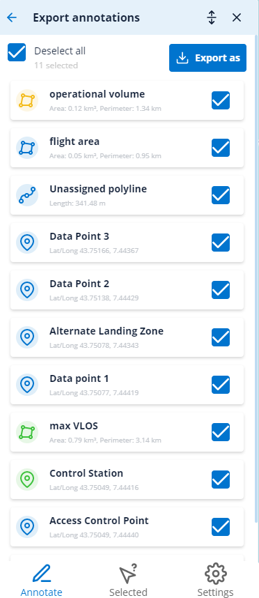
- From the Export annotations page you can select individual annotations for export or you can export all the annotations.
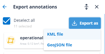
- Select the Export as button to choose between KML file and GEOJSON files:
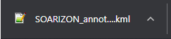
- The required file will then download automatically.
Export of polygon height above ground level
Altitude and height are critical to aviation safety and these properties are not consistently implemented across the GEOJSON and KML standards.
Exported KML files support the "Height above ground level" property from ScaleFlyt.
Exported GEOJSON files do not support the "Height above ground level" property from ScaleFlyt.
Find out more about KML
The KML standard is defined here.
Tools which can visualise KML data:
- Google Earth Browser
- Google Earth Pro
- A variety of drone flight planning software
Find out more about GEOJSON
The GEOJSON standard is defined here.
Tools which can visualise GEOJSON data:
- GeoJSON.io web viewer and editor
- Google Earth Pro